Skip to Main Content
UF Libraries
Guides @ UF
Panama Silver, Asian Gold
Maps
Search this Guide
Search
Panama Silver, Asian Gold: Maps
Home
Materials on West Indians in the Panama Canal Museum Collection
Newspapers
Maps
Manuscript Collections
Other Digital Maps
Panama Canal (Panama), World
Flash Interactive: Panama Map
Digital Maps at UFDC
1925 pictorial map of the Panama Canal as seen by Charles Owens, Los Angeles Times.
Hometowns of the Canal Zone: An interactive display
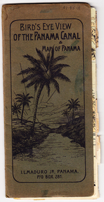
Bird's eye view of the Panama Canal and map of Panama
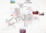
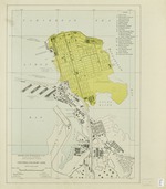
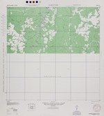
Cristobal - Colon - Mt. Hope
Barbados Maps
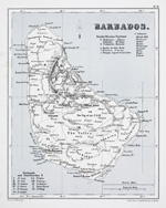
Barbados - 1860
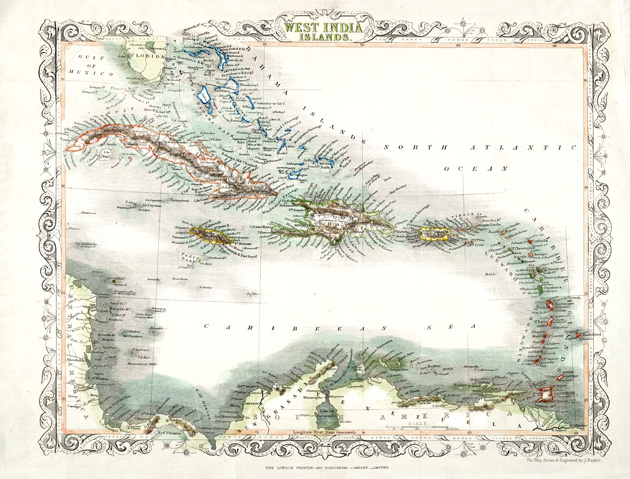
West india Islands - 1860
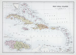
West india Islands - 1879
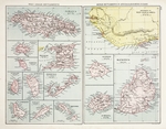
West Indian Settlements - 1880
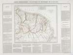
New Grenada (showing Guiana) 1877
British Guiana 1944 (12 maps)
Guiana - 1825
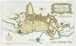
A Plan of Bridge Town in the Island of Barbadoes - 1766
Bridgetown : Barbados, 1:1,250 (Physical set)
Sweeny's Illustrated Pan-American Travel-Talk Tours: Uncle Sam at Panama, an Educational Travel Talk
This is a travel book that includes images and charts related to the Panama Canal. Some examples are listed below.
Atlantic Division of the Panama Canal
The Panama Canal Illustrated
<<
Previous:
Newspapers
Next:
Manuscript Collections >>
This page uses Google Analytics
- (Google Privacy Policy)
This work is licensed under a
Creative Commons Attribution-NonCommercial-ShareAlike 3.0 Unported License
.